Log in
All resources
Create a design
200 Free Artworks of Old Maps Of Seas
bibliothèque nationale de france
henry cooper (engraver)
maps by john cary
john cary
old maps of ethiopia
voyages and travels to india, ceylon, the red sea, abyssinia, and egypt, vol. 3
english-language maps
john outhett
latin-language maps
maps in the rijksmuseum amsterdam
1529 maps of iran
1529 maps
atlas van der hagen (volume 2)
1680s maps of the netherlands
high renaissance,renaissance
codex windsor
high renaissance,renaissance
codex windsor
eran laor cartographic collection
johannes van den aveelen
old maps of st. augustine, florida
john white (colonist and artist)
18th-century maps of greenland
old maps of the arctic
a voyage to abyssinia, and travels into the interior of that country, executed under the orders of the british government in the years 1809 & 1810
john outhett
old maps of the sea of galilee
french-language maps
old maps of the bering sea
old maps of kamchatka
the new forest, its history and its scenery
symbolism
1770s maps of alaska
robert de vaugondy
1801 maps of germany
maps by john cary
carte de la mer méditerranée en trois feuilles (dheulland et al.)
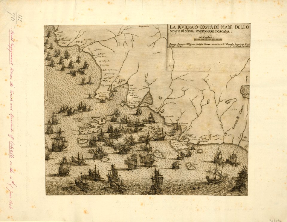
old maps of the central mediterranean
media from regionaal archief alkmaar
old maps of north holland
seehbuch cod. hist. fol. 261
güglingen
1580s maps of portugal
old maps of portugal
voyages de la commission scientifique du nord, en scandinavie, en laponie, au spitzberg et aux feröe
19th-century maps of norway
maps by john cary
1799 maps
a school geography (1898) by bird
old maps of the yellow sea
old maps of algiers
maps by juan lopez
maps by emanuel bowen
1747 maps of africa
voyages and travels to india, ceylon, the red sea, abyssinia, and egypt, vol. 2
henry cooper (engraver)
maps from the earth and its inhabitants, vol. iv
bathymetric maps of the irish sea
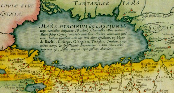
17th-century maps of the caspian sea
maps of persia by mercator-hondius
viage á constantinopla, en el año de 1784 (1790)
old maps of the dardanelles
maps of the history of morocco
empire of morocco
voyages and travels to india, ceylon, the red sea, abyssinia, and egypt, vol. 3
henry cooper (engraver)
voyages and travels to india, ceylon, the red sea, abyssinia, and egypt, vol. 3
henry cooper (engraver)
old maps of plymouth and devonport
16th-century maps of england
english-language maps
1747 maps of asia
lucas janszoon waghenaer
old maps of zeeland
1870s maps of the caucasus
g. h. swanston
maps by daniel stoopendaal
biblical maps
frank leslie's illustrated newspaper, 1870
port tawfik
maps of africa in the robert c. williams paper museum
1702 maps of africa
old maps of the tribes of israel
old maps of ancient israel
18th-century maps of panama
war of jenkins' ear
carte de la mer méditerranée en trois feuilles (dheulland et al.)
old maps of the central mediterranean
flemish prints in the british museum
coenraed lauwers
voyages and travels to india, ceylon, the red sea, abyssinia, and egypt, vol. 3
henry cooper (engraver)
english-language maps of asia
maps by john cary
maps by daniel lizars
1820 maps of asia
1650s maps of the americas
1658 maps
voyages and travels to india, ceylon, the red sea, abyssinia, and egypt, vol. 3
henry cooper (engraver)
voyages and travels to india, ceylon, the red sea, abyssinia, and egypt, vol. 3
henry cooper (engraver)
colonial history of the united states
old maps of new york (state)
considérations géographiques et physiques sur les nouvelles découvertes au nord de la grande mer
1750s maps of the russian empire
maps by willem and johannes blaeu
1650s maps of palestine
carte de la mer méditerranée en trois feuilles (dheulland et al.)
old maps of the central mediterranean
carte de la mer méditerranée en trois feuilles (dheulland et al.)
old maps of the central mediterranean
considérations géographiques et physiques sur les nouvelles découvertes au nord de la grande mer
old maps of the yellow sea
voyages and travels to india, ceylon, the red sea, abyssinia, and egypt, vol. 2
henry cooper (engraver)
old maps of viceroyalty of the caucasus
19th-century maps of crimea
voyages and travels to india, ceylon, the red sea, abyssinia, and egypt, vol. 2
henry cooper (engraver)
voyages and travels to india, ceylon, the red sea, abyssinia, and egypt, vol. 2
henry cooper (engraver)
portolan charts by willem and johannes blaeu
latin-language maps
maps by john cary
1801 maps
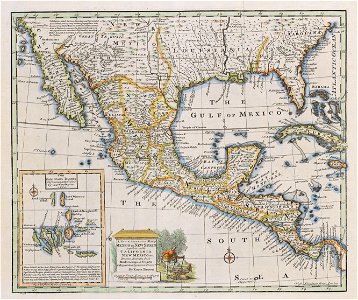
old maps of the viceroyalty of new spain
maps by emanuel bowen
voyages and travels to india, ceylon, the red sea, abyssinia, and egypt, vol. 3
henry cooper (engraver)
18th-century maps of antarctica
1741 maps
maps in the british museum
baroque
old maps of katwijk, south holland
brittenburg
geocentric model
1730 maps
maps by jodocus hondius
maps by john speed
maps by jodocus hondius
maps by john speed
a voyage to abyssinia, and travels into the interior of that country, executed under the orders of the british government in the years 1809 & 1810
john outhett
maps of rodrigues island
old maps of mauritius
maps from the earth and its inhabitants, vol. v
old maps of the black sea
maps from the earth and its inhabitants, vol. v
old maps of the black sea
maps from the earth and its inhabitants, vol. v
old maps of the black sea
maps by john cary
1801 maps
maps by willem and johannes blaeu
1635 maps
voyages and travels to india, ceylon, the red sea, abyssinia, and egypt, vol. 3
henry cooper (engraver)
corona and coronet (1898)
1890s maps of japan
maps of the mexican-american war
maps by joseph warren revere
1806 maps of the united states
maps by john cary
maps by john cary
1801 maps
1821 maps of the united states
maps by john cary
maps by abraham ortelius
pieter van der keere
german renaissance,humanism
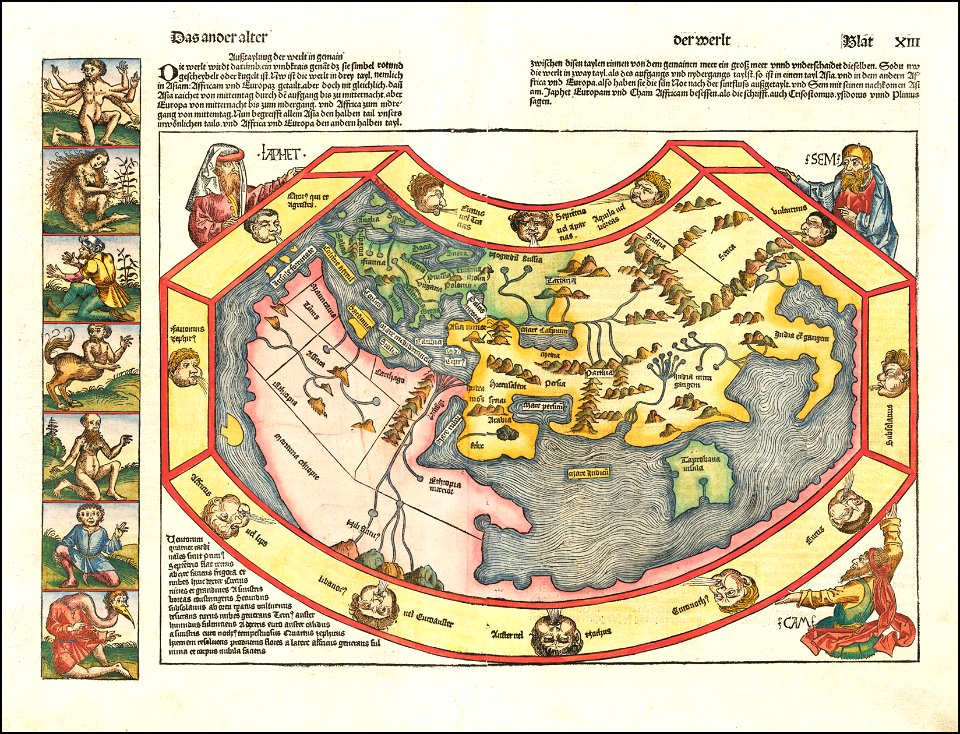
hartmann schedel
maps in the rijksmuseum amsterdam
old maps of the ottoman empire
prints by jan luyken in the rijksmuseum amsterdam
maps in the rijksmuseum amsterdam
prints by james gillray in the british museum
satirical prints in the british museum
het uuterste ofte oosterste deel van de oster zee, beslooten tegens ruslandt lijfflandt, oost finlandt, in welcken de twe opperste ofte veerste laetplaetsen sijn van de geheele oosterse navigatie, te weeten... - btv1b53235861c
old maps of the gulf of finland
maps by joachim bormeester
1685 maps
maps in the rijksmuseum amsterdam
joost van geel
prints by jan luyken in the rijksmuseum amsterdam
maps in the rijksmuseum amsterdam
maps of the captaincy general of cuba
maps of the history of florida
old maps of møre og romsdal
stadlandet
french-language maps of north america
1809 maps of north america
prints in the royal collection of the united kingdom
françois collignon
nicolas sanson. “mappe-monde, ou carte generale du monde.”
1667 map of madagascar by guillaume sanson
nicolas sanson. “mappe-monde, ou carte generale du monde.”
map of the bosphorus strait by guillaume sanson (1665)
de nieuwe groote lichtende zee-fakkel (rijksmuseum)
maps in the rijksmuseum amsterdam
old maps of kennemerland
hendrik de leth
old maps of the viceroyalty of new spain
the spanish borderlands
thomas onwhyn
britannia
prints by jan luyken in the rijksmuseum amsterdam
old maps of the baltic sea
drawings in musée carnavalet
jolly (1776-1839)
101 - 200 of 200
/ 2